It runs from June 17-18 at the Royal Geographic Society in Kensington Gore.
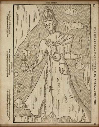
Around 40 dealers will stand this year, exhibiting works with a wide price range to suit most budgets. Clive A Burden, for example, brings a first edition early issue of the first 1579 English County Atlas once owned by the Earls of Sutherland and then the Dukes of Marlborough. It is available for £125,000.
Exhibitors from the UK are Altea Antique Maps & Charts, Bryars & Bryars and Simon Hunter Antique Maps. From further afield come Christian Haslinger Antiquariat (Germany), Antiquarius (Italy) and Mary Louis Bryan (Greece).
A programme of talks will accompany the event. Ashley Baynton-Williams, author of The Curious Map Book, will present throughout the weekend on map collecting for beginners. Topographer Simon Morris will give a lecture titled The other side of the map – how and why users personalise maps with annotations, corrections and worse.


