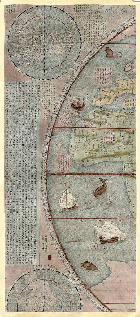
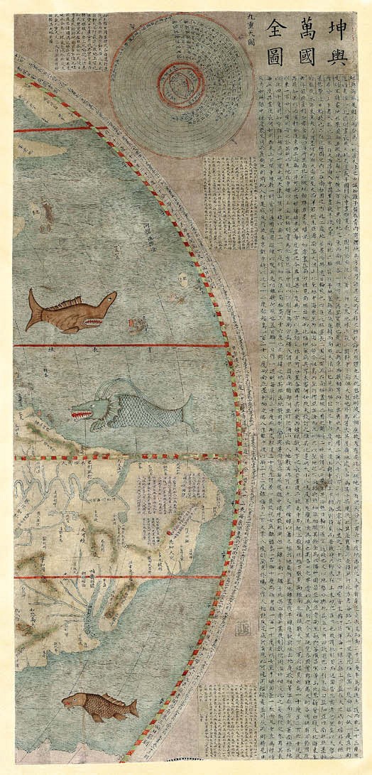
However, as rare survivals of a manuscript version of a famous world map produced in China in the first half of the 17th century, they sold at £125,000.
The model for this work was the most celebrated of the maps created by Matteo Ricci, the Italian Jesuit who from 1582 had introduced much of western cartographic and scientific knowledge to China.
In 1602, a Sino-centric Ricci map of six panels, drawing on the work of Ortelius and Mercator, was printed – eight copies of which survive – but production was hampered by the flood damage to the Jesuit house in Beijing. The sheets in the King Street sale seem likely to have come from one of the manuscript copies made at the time and later.
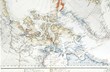
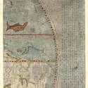
John Day, writing on the origins of the Ricci maps in a 1997 issue of the journal Imago Mundi, suggests that a now missing manuscript map of 1644 was the model for most of the manuscript versions. The ships, sea creatures and monsters on this map – illustrated above – are not to be found in the 1602 Ricci original.
Global opportunity
Probably made in southern Germany, perhaps Augsburg or Nuremburg, around a century earlier, c.1560-80, a little gilt brass globe with a circumference of just 3½in (9cm) sold for a low-estimate £150,000 in the same King Street sale.

The little German gilt brass globe c.1560-80 sold by Christie’s for £150,000.
The cartography is based on globe gores produced by François Demongenet, whose work is often seen as the source for manuscript gores on 16th century globes. Christie’s says gores (the curved sections that make up the globe) produced by the Nuremburg instrument maker Georg Hartmann are also closely related.
Comprising an unbound, uncut and unopened set of the text sheets and a four-part atlas, loose in printed wrappers, that presents nine (of 13) maps on eight sheets, a copy of Humboldt & Bonplan’s Essai politique… and Atlas Geographique et Physique du Royaume de la Nouvelle Espagne made £24,000 at King Street.
It appears to be a first issue and earliest-known variant of what was the first scientific description of the American south-west, a work that offered a wealth of information on California and Texas.
London map calling
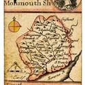
Issued in 1834, a Topographical Survey of the Borough of St Marylebone sold for £4500 by Forum Auctions (25/20/12% buyer’s premium) on July 10 was a map that followed just two years after the enfranchisement of five new parliamentary boroughs in London.
The work of JA Bartlett and John Britton, the 3ft 8in x 3ft 2in (1.12m x 97cm) folding map, dissected and mounted on linen, shows the three civil parishes of St Marylebone, Paddington and St Pancras, as well as well as plans and elevations of 20 public buildings.
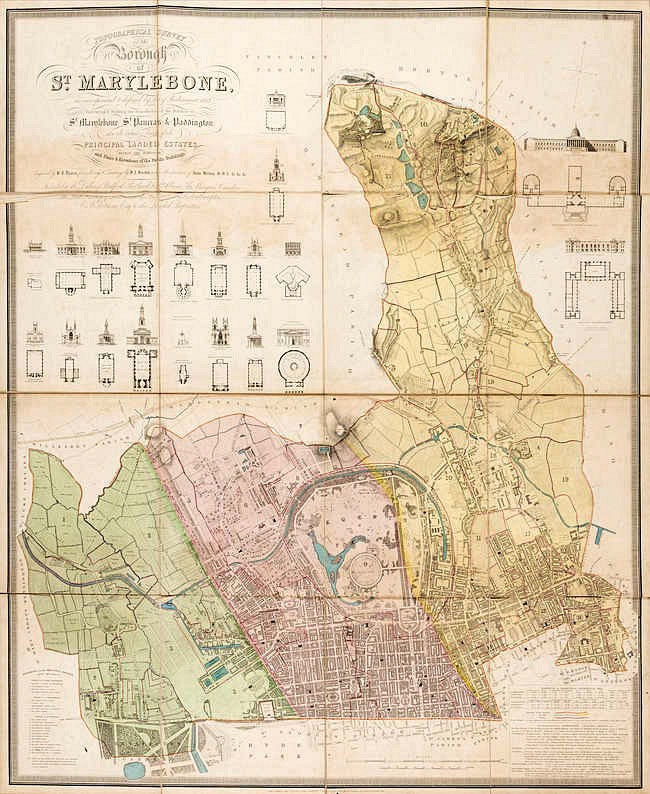
An 1834 'Topographical Survey of the Borough of St Marylebone', sold for £4500 by Forum Auctions.
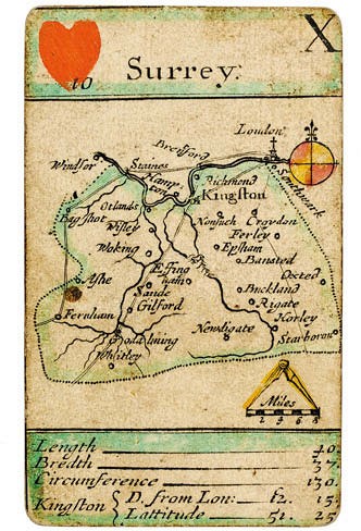
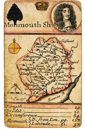
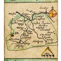
Sold for £6500 by Dominic Winter (19.5% buyer’s premium) in a July 19-20 sale was an incomplete deck of Robert Morden’s famous Counties of England and Wales playing cards. The 37 engraved and stencilled cards were part of the first state issue of 1676 in which the adjacent counties are not named.
Educational as well as functional, the cards were in many instances the first to feature roads in their respective counties. The court cards feature portraits of Charles II and Catherine of Braganza, along with various male heads on the Jacks. A full pack would also have included a general map of England card and another bearing explanatory text.
A 23-lot selection of playing cards from the extensive collection of collector and dealer Nick Arden Thomas, part of which was successfully sold way back in 1990, was also offered.
A complete deck of manuscript cards made c.1796 by French prisoners-of-war, valued at £7000-10,000, was unsold.
Bid to £980, however, was another complete deck of cards depicting singers of the Paris Opera. Dated to c.1865, the court cards of this pack were photographic portraits by Adolphe Bilordeaux.