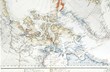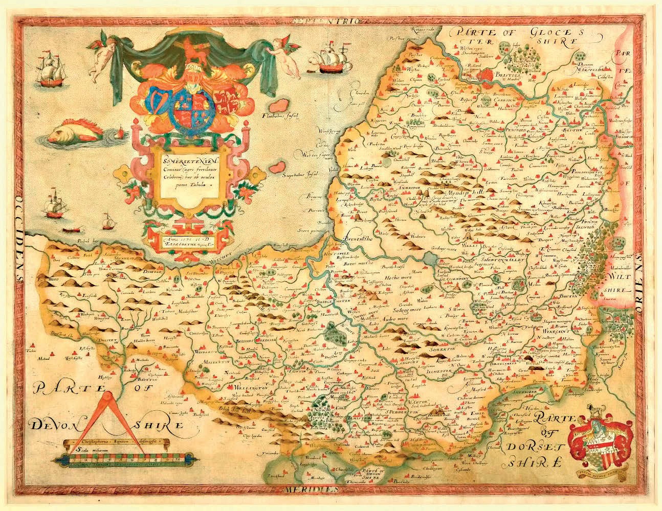
Sold at £3700 was an example in contemporary colour of a Somerset map bearing the date 1575 but seen here as issued in the pioneering Saxton atlas of England and Wales published in 1579.
A Cambridge-educated Yorkshireman, Christopher Saxton was attached to the household of Thomas Seckford, at whose instigation and expense – and with the approval of Elizabeth I – the counties were surveyed and maps drawn up.
Seckford’s arms appear in the lower-right corner of the map, which was engraved by Lenaert Terwoot from Saxton’s original.
The sale took place on January 29.
Schoolgirl maps out the US

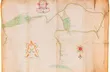
One of the North America maps created by 17-year-old Emily Draper of Greenfield, Massachusetts, in an atlas sold for $40,000 (£30,770) at Sotheby’s New York.
The remarkably accomplished map above is one of the most impressive examples of the work of Emily Draper of Greenfield, Massachusetts, who in 1822, as a 17-year-old schoolgirl, created her own ‘Book of Maps’ of North America.
It seems it was never finished, but together with 32 pages of calligraphic text and map titles, Emily’s remarkable home-made atlas presents 19 full-page maps, 13 of which are partially coloured in outline.
Estimated at $3000-5000, it sold instead for $40,000 (£30,770) as part of a January 27 sale of printed and manuscript Americana held by Sotheby’s New York (25/20/13.9% buyer’s premium).