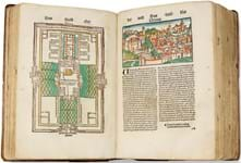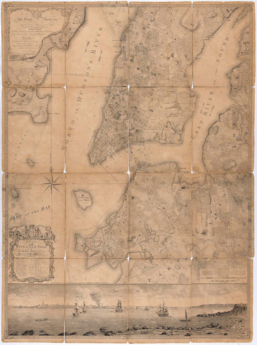
However, such is its rarity that the defective and discoloured condition of some of the 16 sections into which it is divided could not prevent it from doubling the high estimate at $120,000 (£86,020).
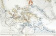
An expansion of an earlier survey of New York carried out by John Montressor, and drawn up as part of a 1766-67 survey of Manhattan made by a surveyor and engineer in the Royal American Regiment, Lt Bernard Ratzer, the map was first issued in 1770. This example, however, was a second issue of 1776.
The focus of Ratzer’s map or plan is lower Manhattan, delineating the streets, naming farms, major roads, cemeteries, churches, a synagogue and a brewery.
The topography extends north to what today would be 50th Street and below the map in this 4ft x 3ft (1.22m x 92cm) Plan… is shown a panoramic view of the city from Governors Island.
First flyer

Orville Wright takes to the air in 1903 – $5500 (£3945) at Doyle.
Inscribed “To Surprise Lake Camp/with best wishes/Orville Wright”, a photograph of the historic first leap into the air of Wright Flyer 1 on December 17, 1903, sold at $5500 (£3945) at the April 29 auction.
Wilbur is seen running alongside at the wing tip as brother Orville takes to the air.