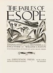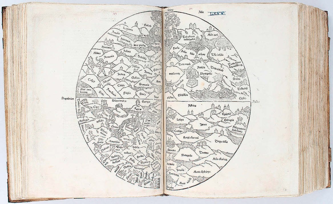
In the following year, however, there appeared the far more complex and much larger, woodcut T-0 map.
No 2 in Shirley’s great work, it was one which first appeared in a 1475 Lübeck edition of the Rudimentum Novitiorum…, a popular illustrated world history that later became more widely known in a French translation, the Mer des Hystoires.
With a diameter of 15in (38cm) and printed across two sheets, this pioneering world map is oriented with east at the top and Jerusalem at its centre, while Europe and Africa occupy the lower segments. The names of countries are marked on clusters of hills.
Judea and Palestine can be seen in the lower corners of the two upper segments, while towards the top of the lower left, European quarter, the Pope can be seen seated within the walled city of Rome. The Pillars of Hercules are shown at the very bottom of the lower left segment and a little to their left, England, or Anglia, is named.
This great rarity did not quite live up to the higher expectations of Reiss & Sohn (19% buyer’s premium) of Königstein im Taunus in Germany, which offered this rare work as part of an October 25-28 series of sales that marked their 50 years as an auction house – but it did sell for €900,000 (£814,050).