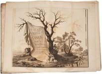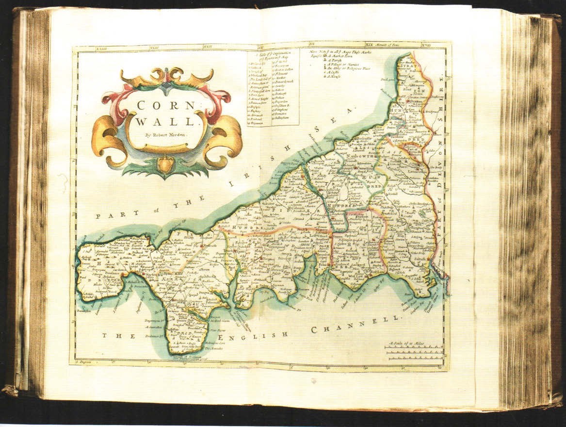
An illustration of the Gibson’s Britannia… sold at Ewbank’s last month as part of a job lot was unavailable, but shown here is the Cornwall map from a 1722, second edition of the work that in 2008 made £7500 in one of the many Sotheby’s sales held to disperse the great library of the Earls of Macclesfield.
First published in 1586, that distinguished but Latin text predecessor and model, William Camden’s Britannia…, was a county by county description of the British Isles, its landscape and its history that ran into a great many editions over the following decades.
Camden continued to revise and expand the text with each new edition, travelling around the country and, it is said, drawing on unpublished works by William Lambarde and others, as well as taking the trouble to learn Welsh and Old English in his pursuits of the facts.
Best since Saxton and Speed
Maps appeared in that work only at a later date, but Gibson’s Britannia… was very much distinguished by its new maps.
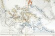
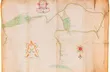
Produced by the cartographer Robert Morden, it was promoted as a work offering the best maps of Britain to have been printed since those of Saxton and Speed – maps that even saw the revision of place names so as to reflect contemporary usage.
Presenting 50 double-page and folding maps, nine engraved plates of coins, plus other engraved and woodcut illustrations, the Gibson version of Britannia…, like Camden’s original, also saw long service – going through four subsequent editions, the last of which appeared in 1772.
In 2011 a copy of Gibson’s profusely illustrated version of Britannia… was sold by Bloomsbury Auctions at £9000, but the 1695 first offered by Ewbank’s in Send, near Woking, appears to have come close to setting an auction record.
In 2009, however, Australian Book Auctions sold a copy for what at current exchange rates would be around £15,000.